 RISMEDIA, February 20, 2009-(MCT)-For years, Google Earth users could zoom in on their houses, take in the view from Ventura’s Two Trees or scale the cliffs above Sespe Creek while clicking away on their home computers.
Now, you can scuba dive off the Channel Islands or follow a sea lion’s journey as it swims from rookeries on San Nicholas Island in search of a meal.
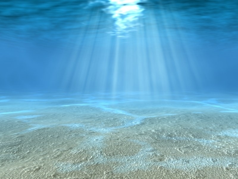
The newest version of Google Earth released this month takes previous technology it applied on land and uses it to map the ocean and all its wonders.
For residents of Ventura County, the vast majority of whom never have ventured beneath the surface the sea, it provides a new opportunity to explore one of the defining characteristics of the county.
And it might help draw tourists to the area, too.
“I think this is an incredibly powerful tool,” said Jim Smith, owner of Ventura Dive & Sport. “It will be a tool you can put in the hands of people who haven’t learned how to dive.”
Smith and others say there is still a long way to go before the ocean map has the detail of the land maps. But the promise of the program is there.
Smith said once people start posting pictures and stories about the dive sites off the Channel Islands, it will help others understand how great diving is off the county coast. The islands are consistently rated as having one of the best kelp forests in the world in which to dive.
After poking around on the site, Smith posted a photo of a bat ray he took while swimming off Anacapa Island. He thinks as more people post images and videos of their experiences, it could act as a tourist draw for the region.
Google Earth, which has been downloaded to more than half a billion computers, also has pictures of surfing at Surfers Point and a lively discussion about “localism” at surf haunts in Oxnard.
Floating in the ocean off San Nicholas Island is an icon of a sea lion. Click on it and you can follow the path of a sea lion that was radio tagged by a scientist with Global Tagging of Pelagic Predators. Though only one animal is currently virtually swimming off Ventura County’s shores, many more are on the way.
Many of the more than 4,000 animals the group has tagged over the past eight years have swam around or near the Santa Barbara Channel, said Randy Kochevar, who works with Global Tagging. Tagged critters such as yellow fin tuna, blue fin tuna, albacore, blue sharks and mako sharks have all swam near or in the channel, he said.
Though the Google program is still being developed, it serves as a good educational medium, he said.
“Any time that you can help people appreciate the animal’s point of view, I think it gives us another way to relate to them,” Kochevar said. “It will hopefully help to open people’s eyes and get people thinking about that part of the planet and that is the first step in getting people to care.”
Circling the islands is a line that represents the Channel Islands National Marine Sanctuary. Click on one of the icons within the sanctuary and you can find information on how well it has worked since it was implemented and watch virtual fish swim back to the protected grounds.
Sanctuary Manager Chris Mobley said the government is working on high-definition mapping of the ocean floor, which will provide much greater detail of every reef and rock. About one-quarter of the sanctuary has been mapped so far, which in theory will be incorporated into Google Earth one day.
“These are the kind of things that are good for the public to get access to so they can get a better sense of what is down there so they can protect it for future generations,” he said.
Copyright © 2009, Ventura County Star, Calif.
Distributed by McClatchy-Tribune Information Services.


